All-Weather Mapping Challenge @ 2025 IEEE GRSS DFC
The frist challenge of all-weather land cover and building damage mapping.
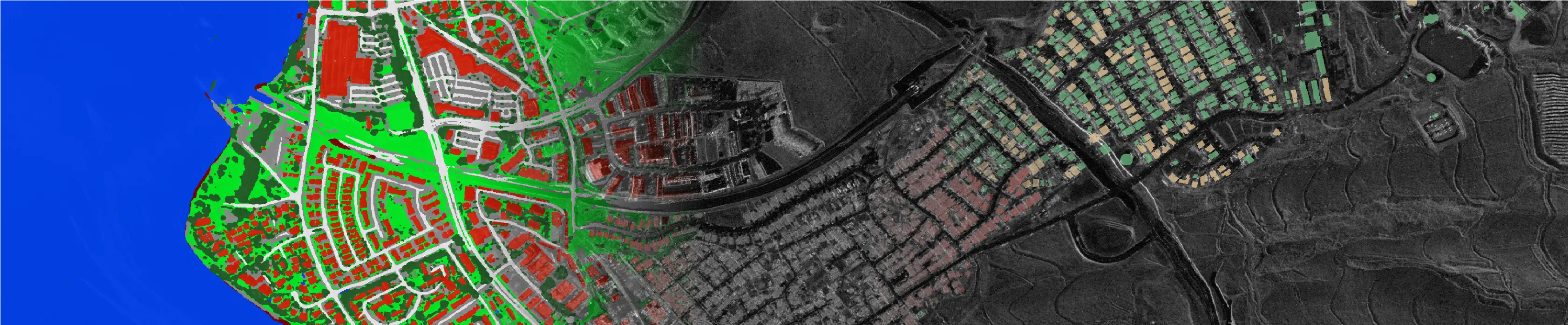
Background SAR image courtesy of Capella Space licensed under CC BY 4.0.
Overview
Get an overview of the OpenEarthMap project and explore its diverse datasets.
News
Stay updated with the latest developments, releases, and events from the OpenEarthMap project.
Papers
A series of research papers have been published as part of the OpenEarthMap project.
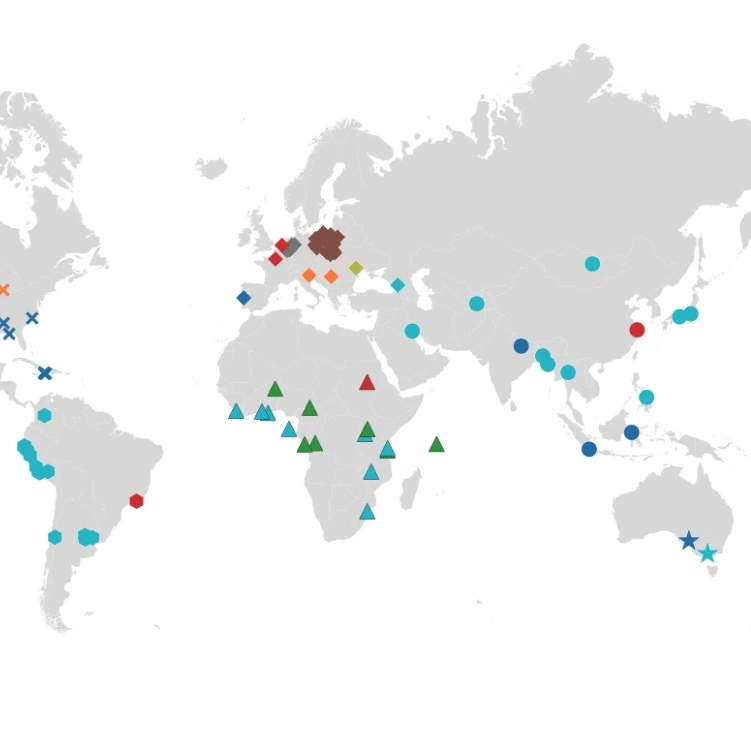
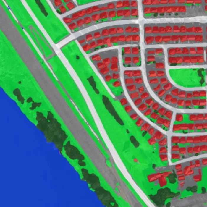
The OpenEarthMap Project
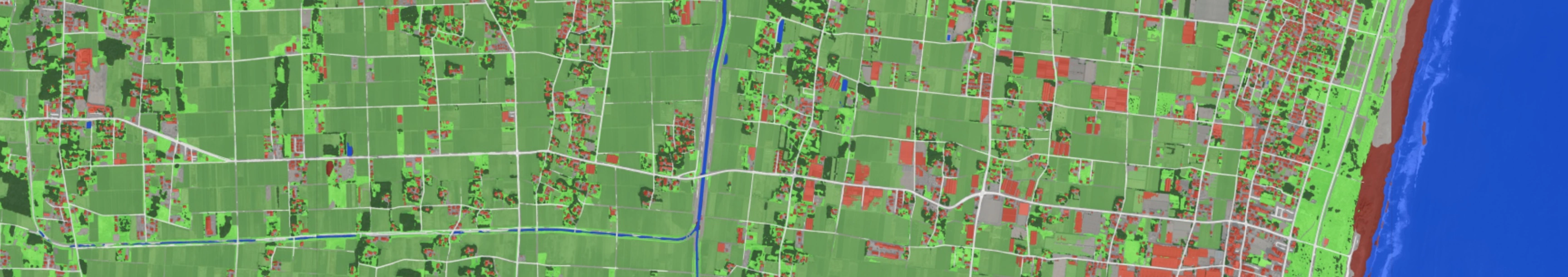
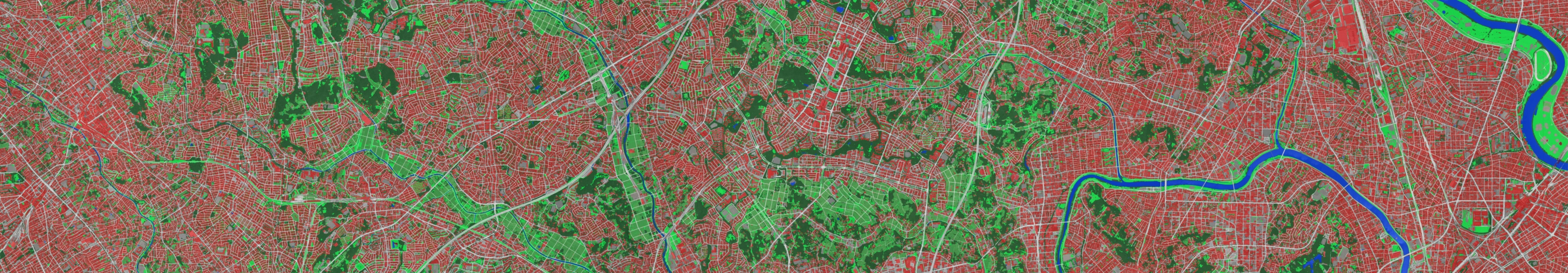
OpenEarthMap is a global initiative to advance open machine learning-based mapping techniques using remote sensing data. The project focuses on extracting semantic and height information, such as land cover maps and digital elevation models (DEMs), to support applications in environmental monitoring, urban planning, and disaster management. It builds upon the OpenEarthMap dataset, a high-resolution land cover mapping benchmark, and promotes the development of models that generalize worldwide for accurate and scalable geospatial analysis. By making mapping technologies openly available, OpenEarthMap aims to bridge geographic inequalities and empower researchers, policymakers, and local communities worldwide to develop and deploy their own mapping solutions.